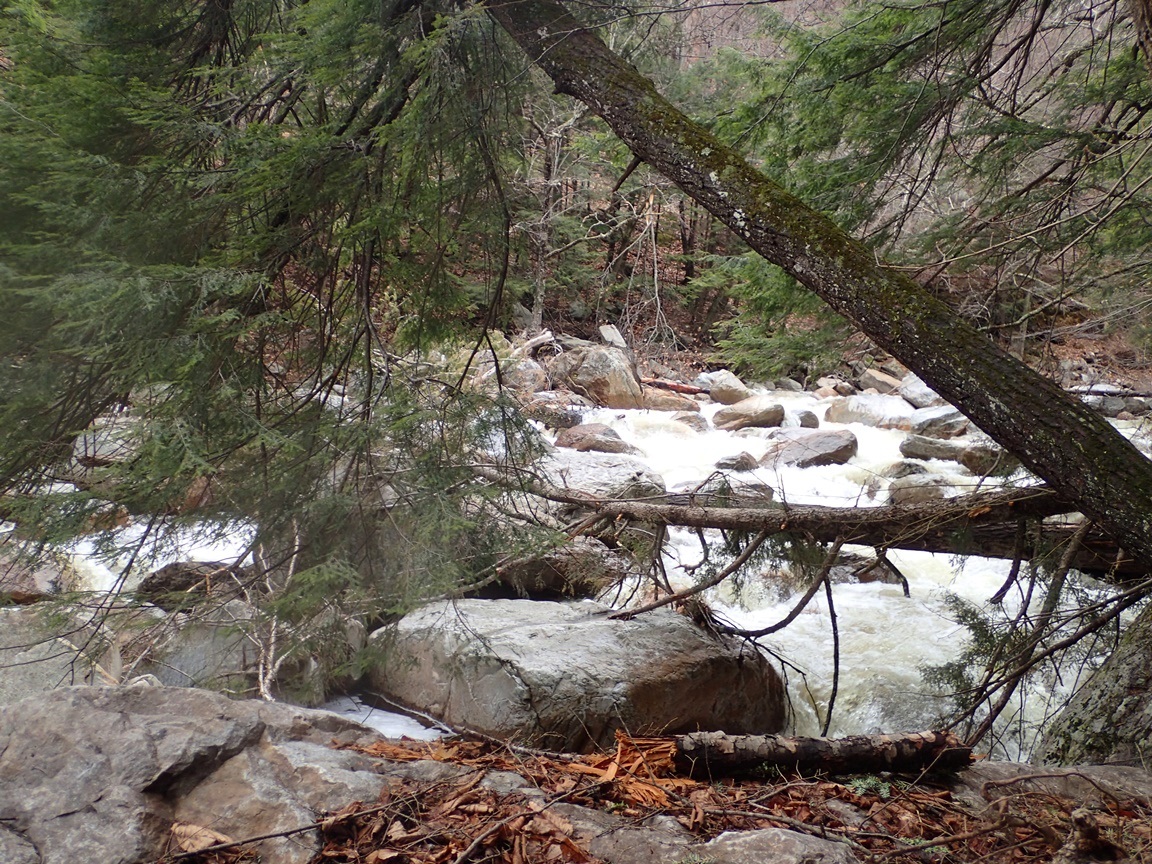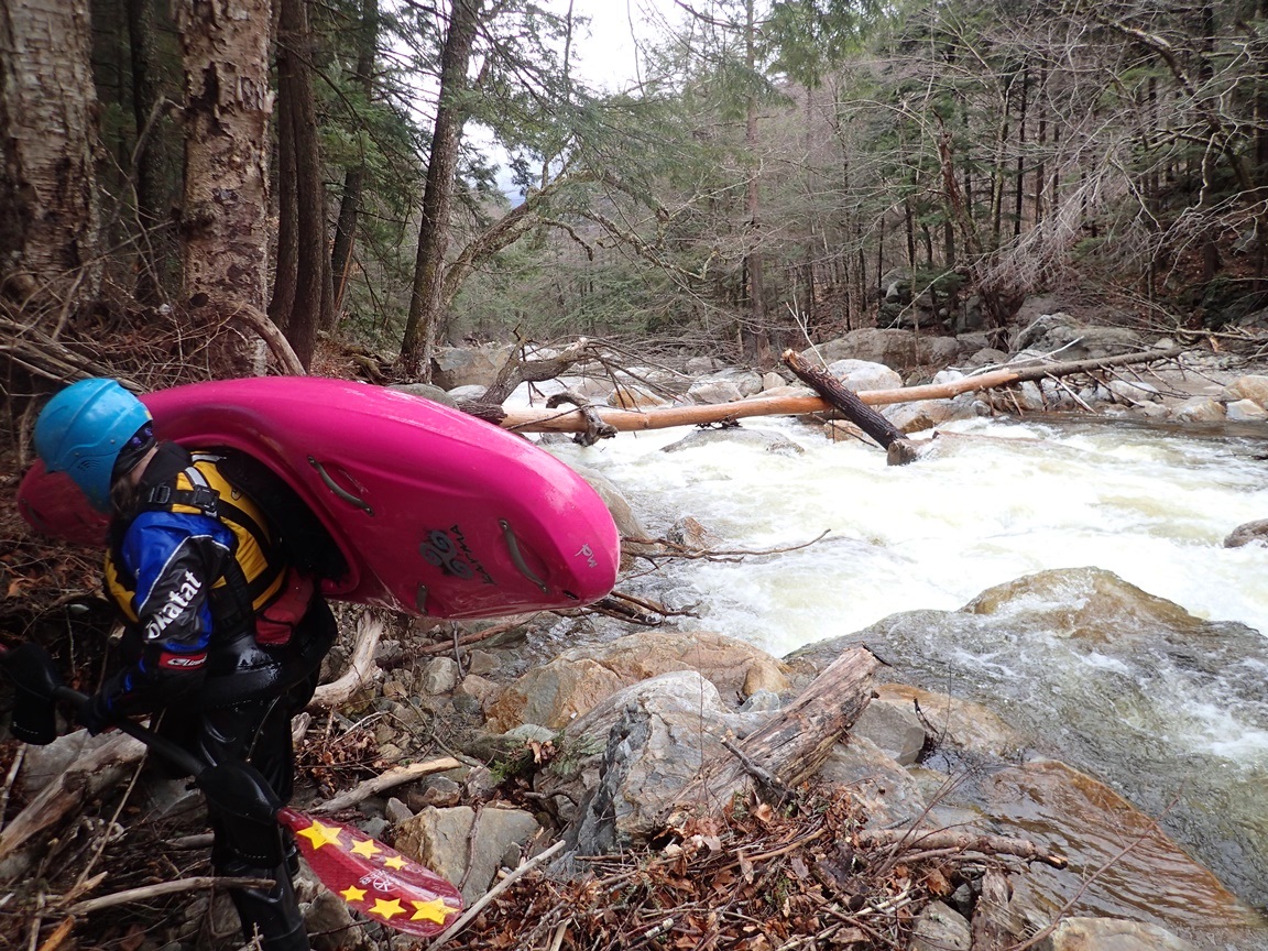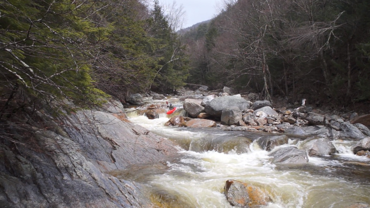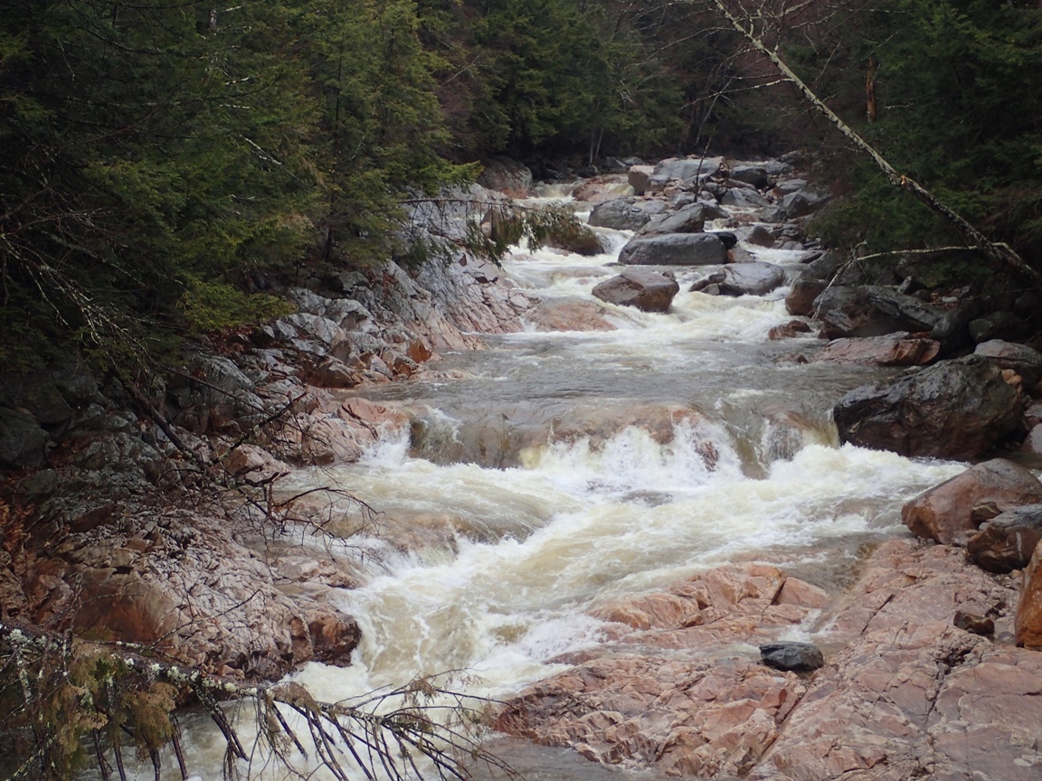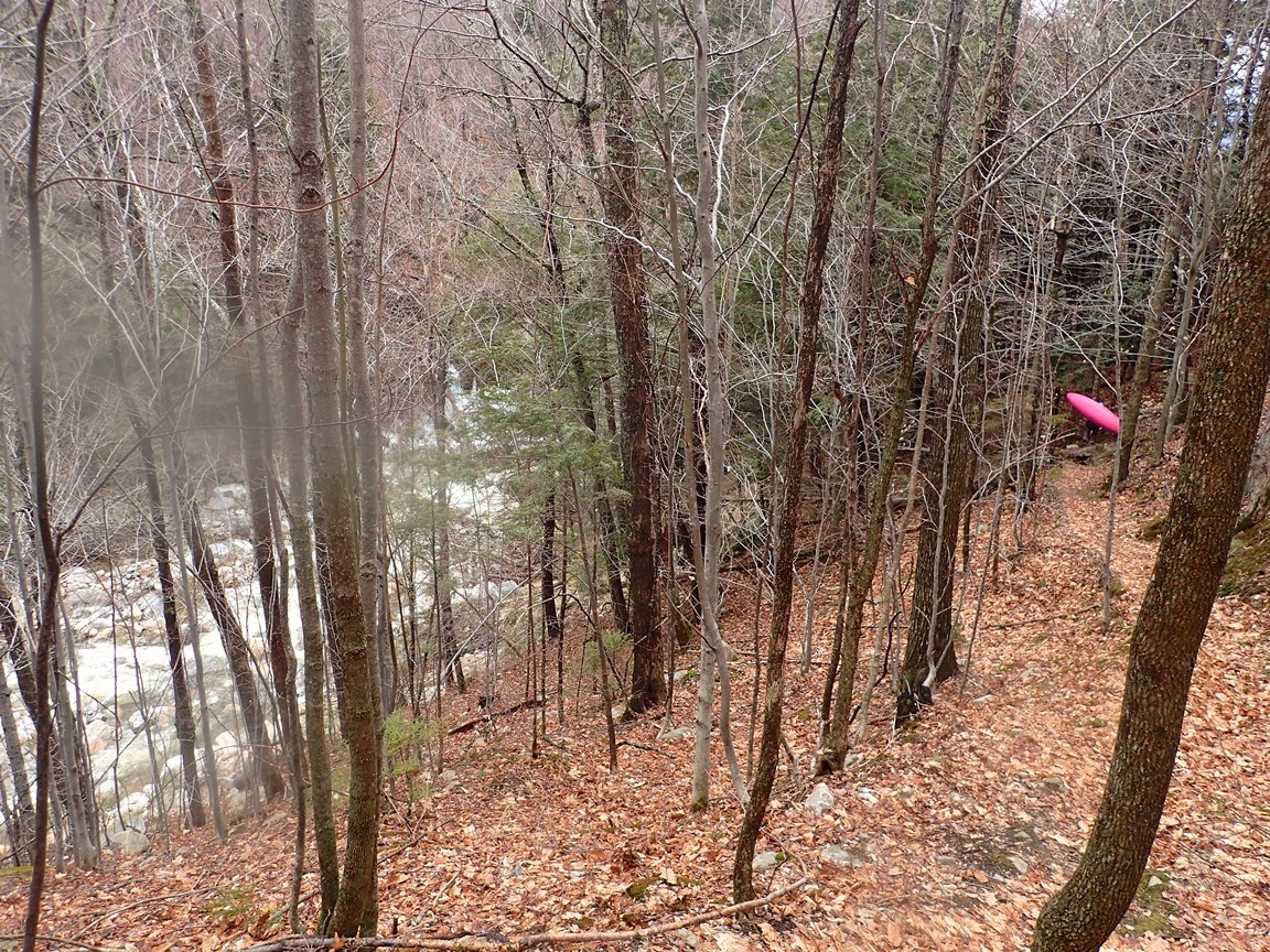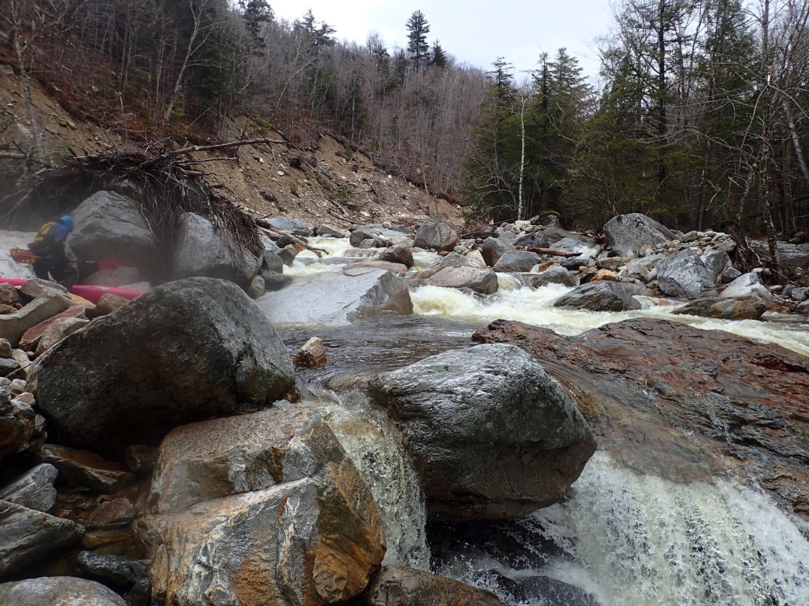
| Stretch: | Picnic Area to Mt Tabor Rd |
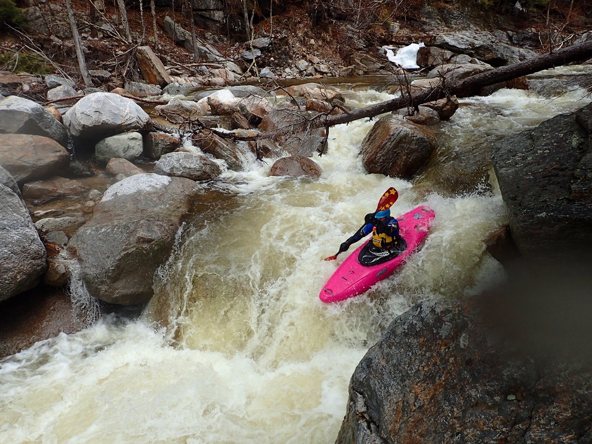
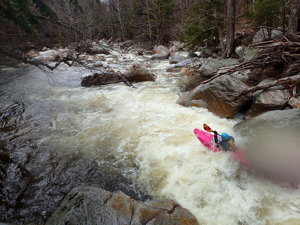
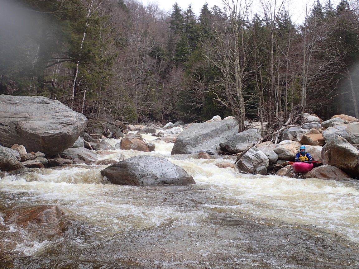
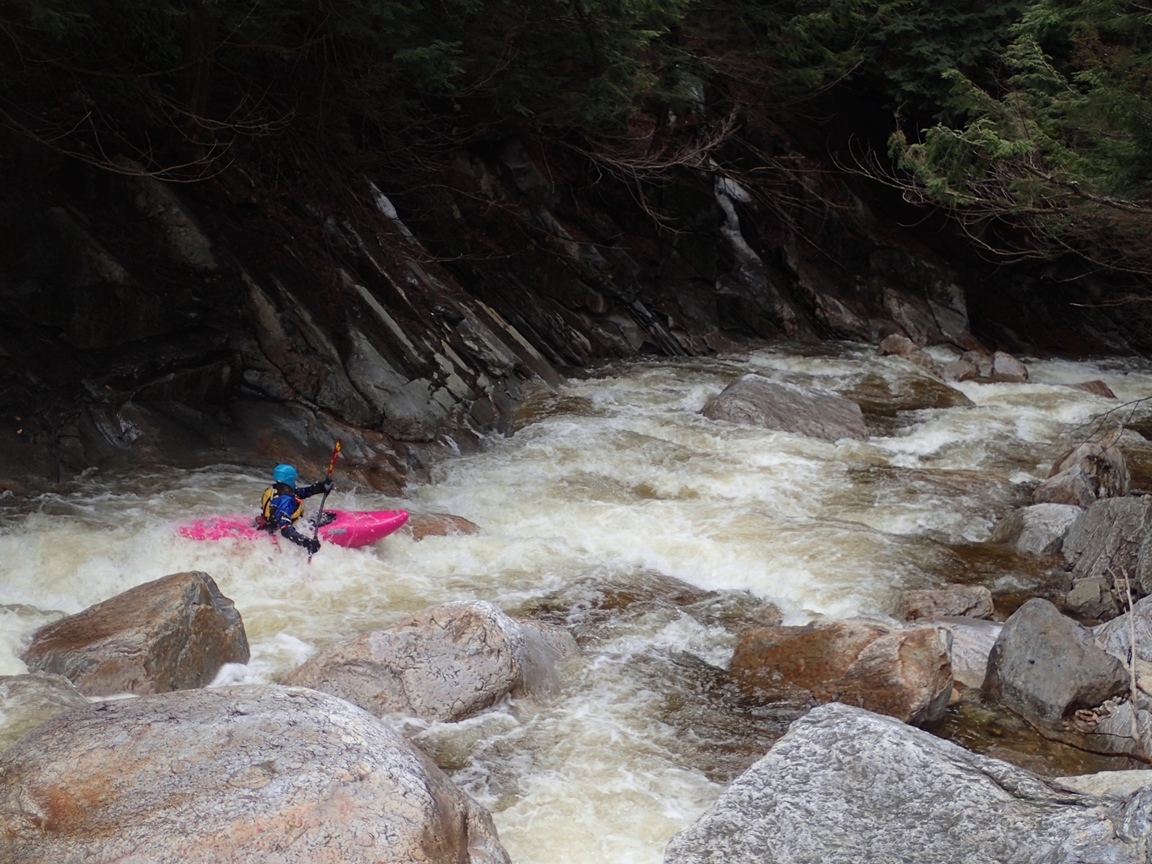
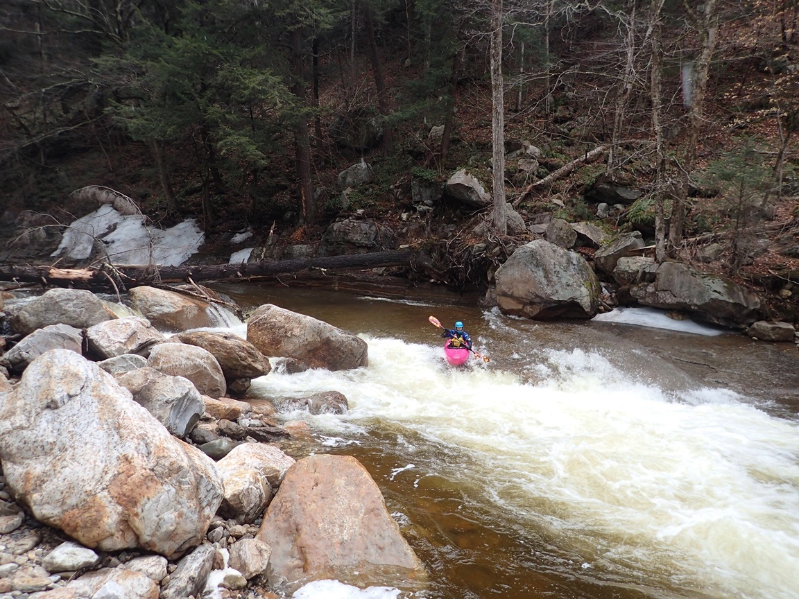
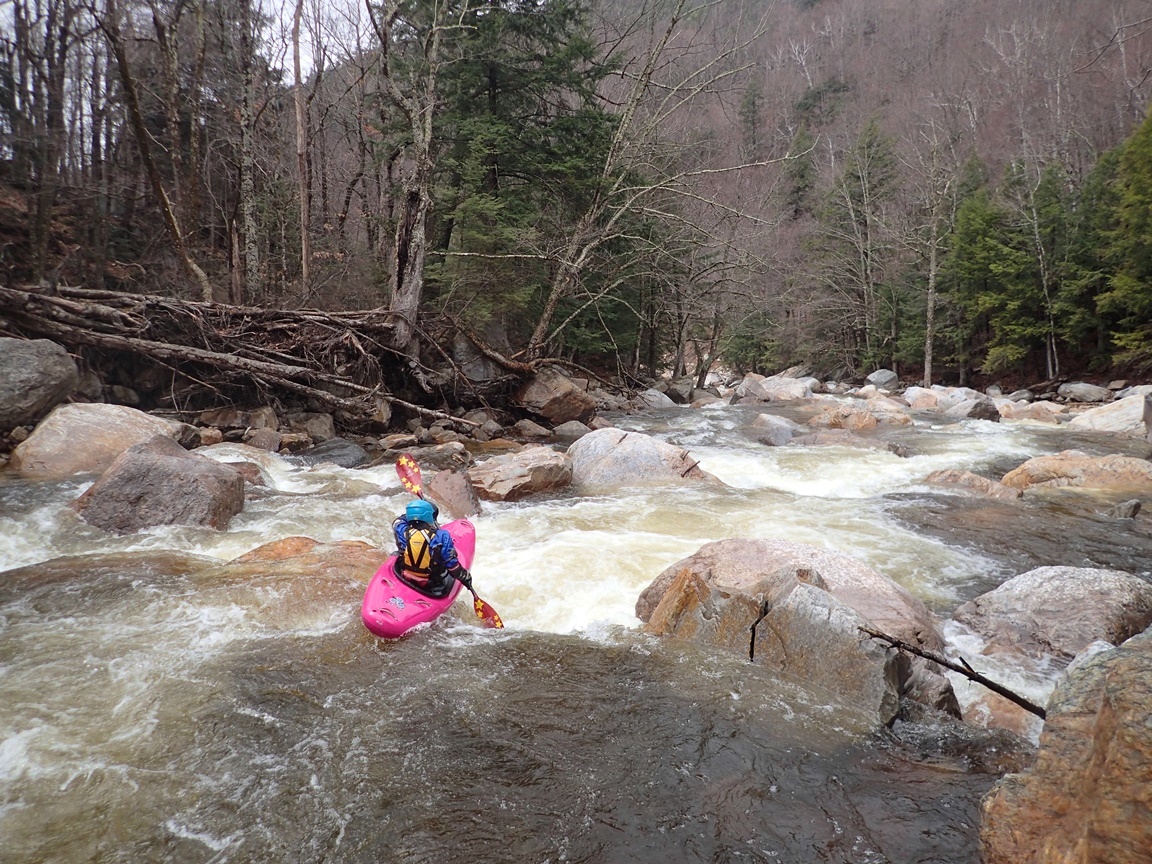
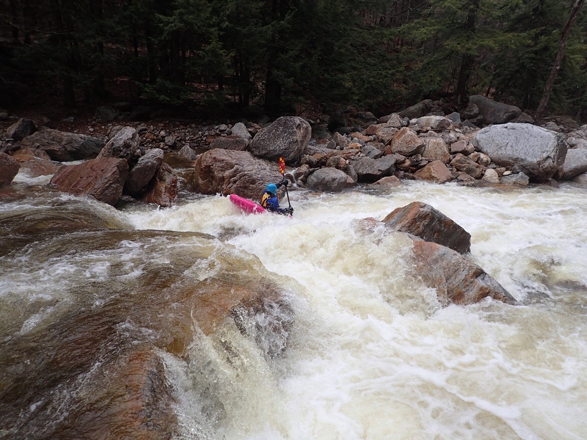
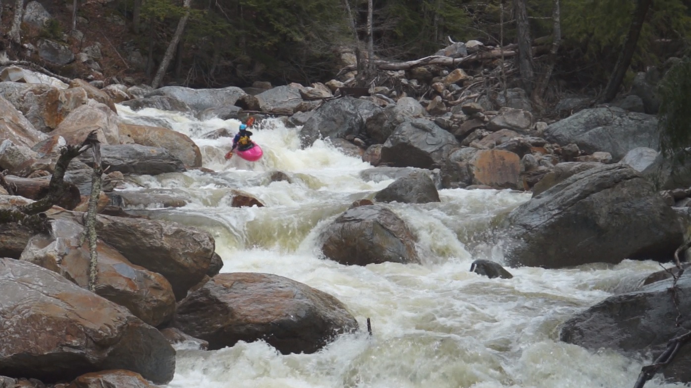
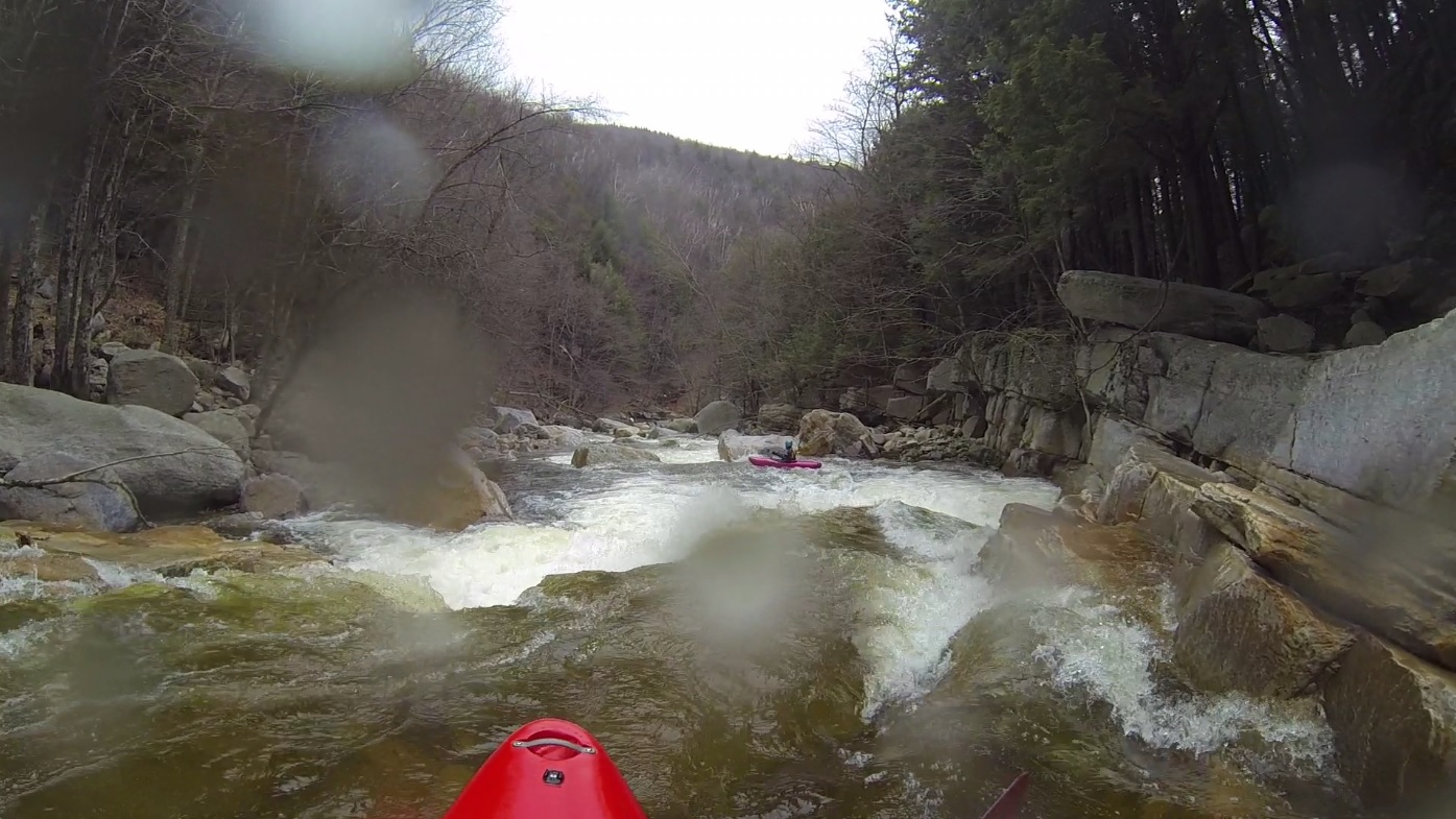
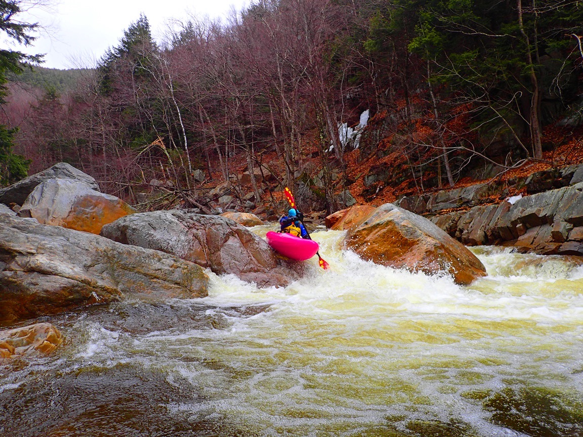
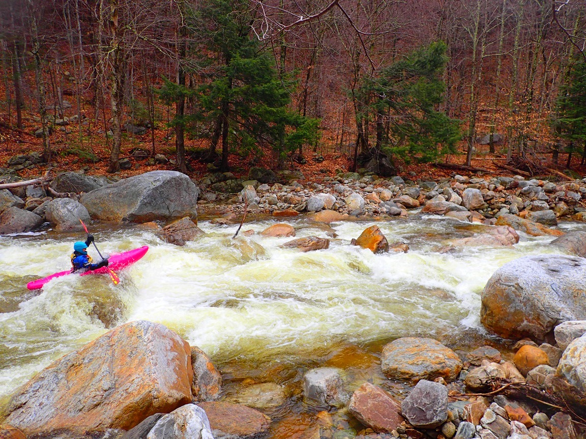
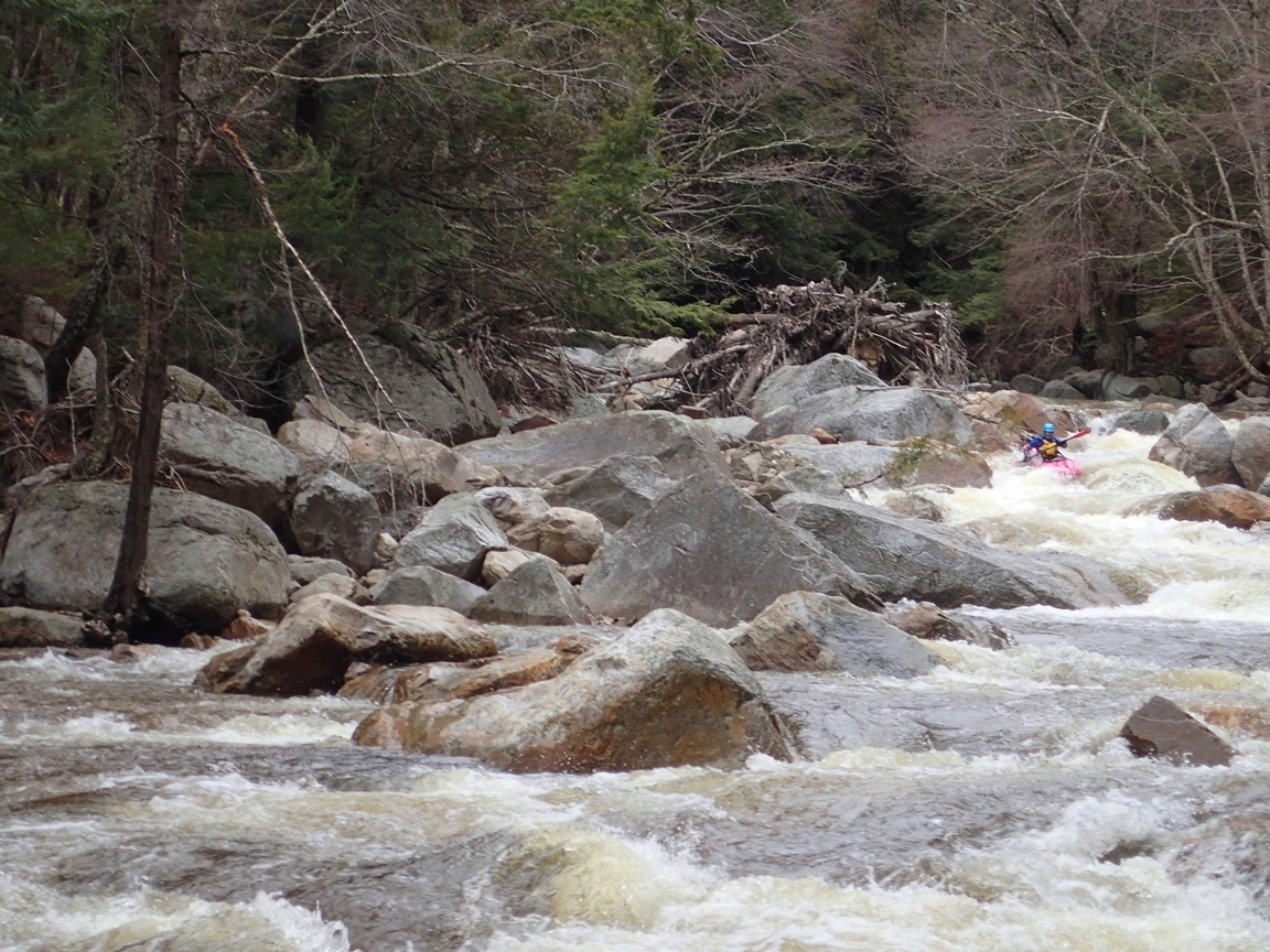
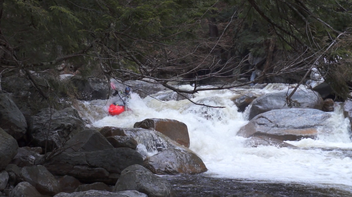
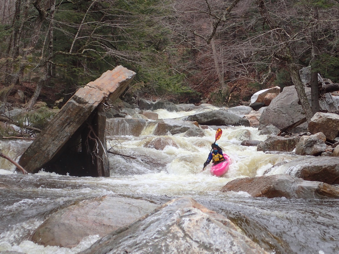
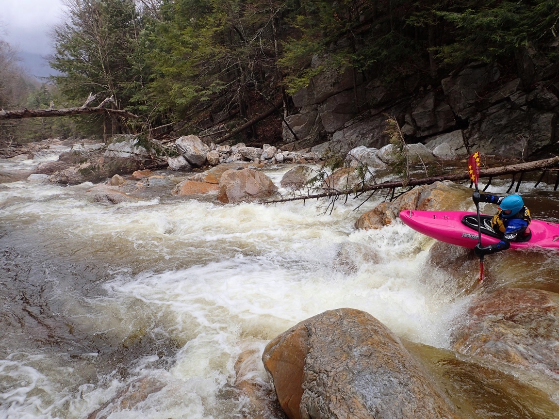
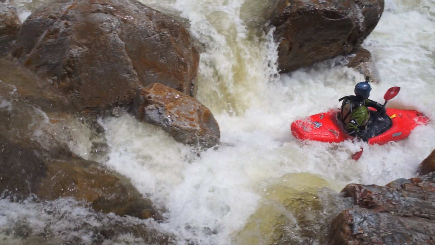
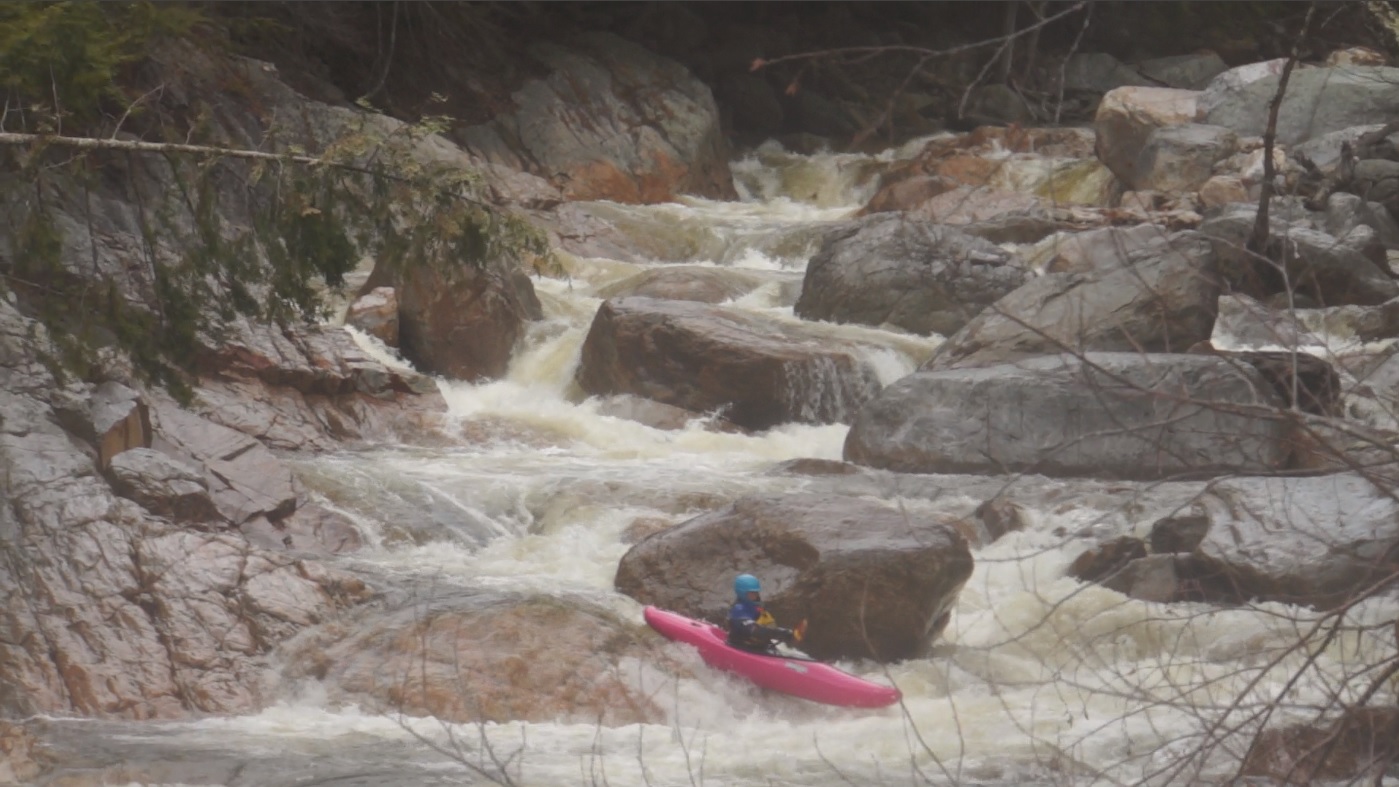
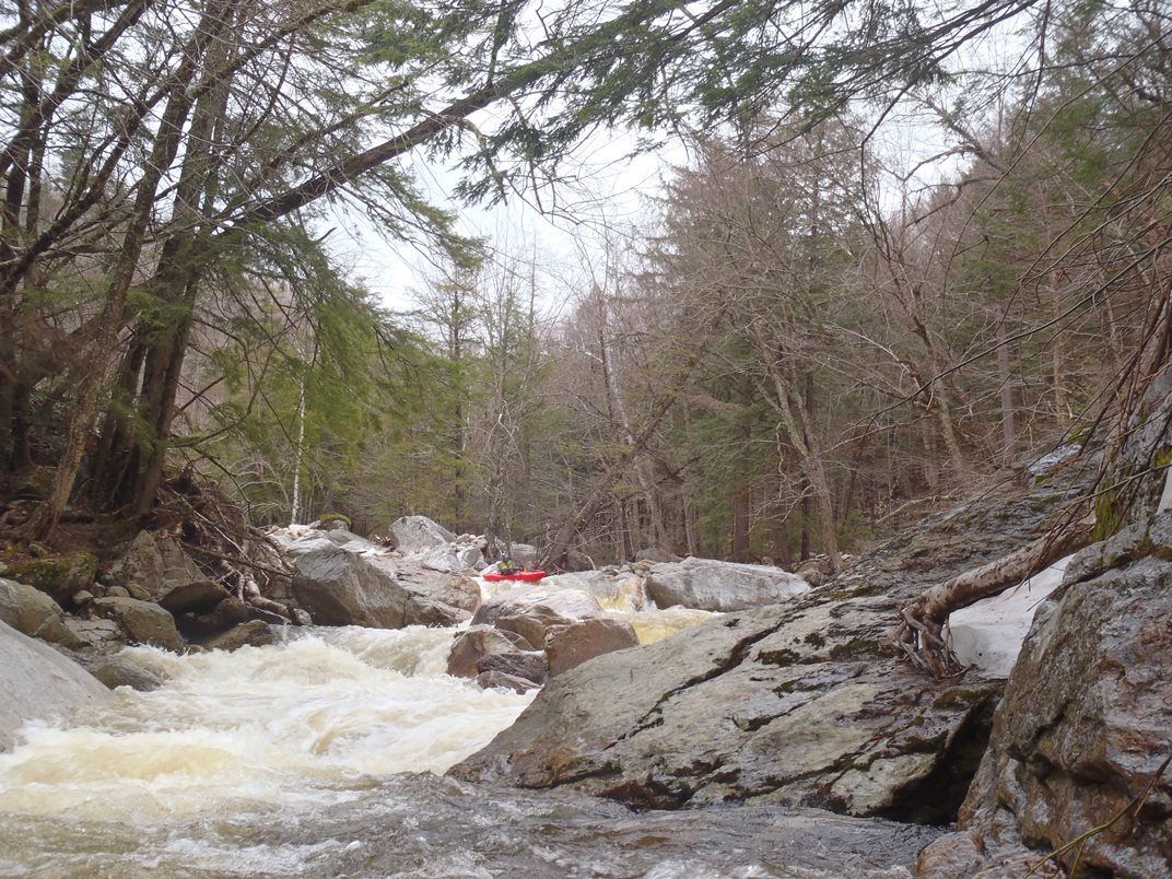
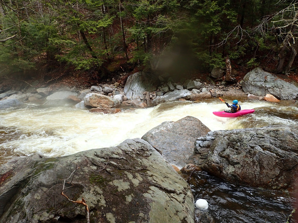
| Difficulty: | Class IV to V |
| Distance: | 1.35 miles (+1.4 for the Upper section) |
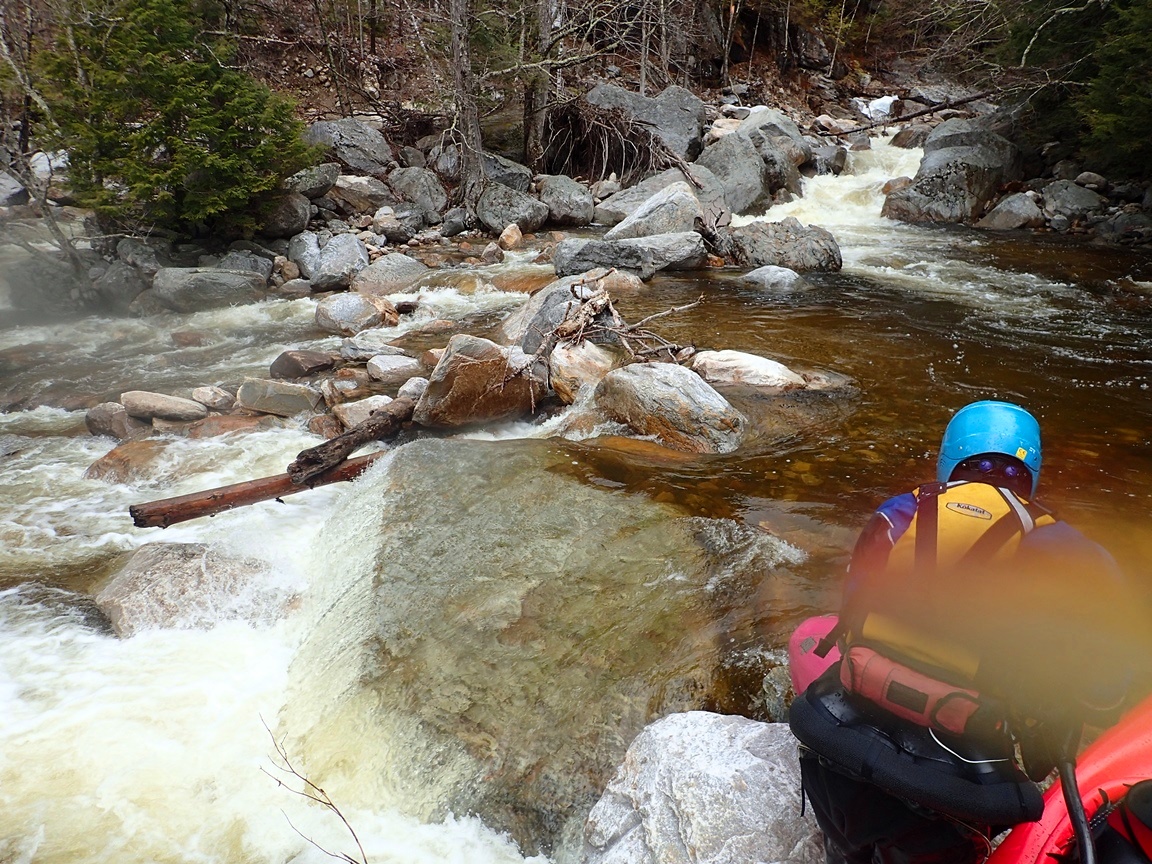
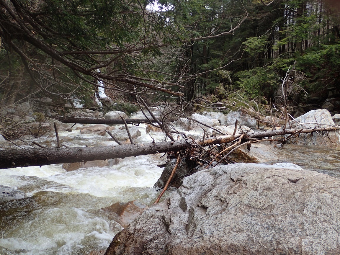
| Flows: | Look at the West River at Londonderry for a correlation. 1,600 cfs is optimum for a medium/good flow. I think ~800 is bare minimum. I would guess around 2,000 is getting big. We had 1,500 cfs and felt it was a great flow. . Visit the flow page |
| Gradient: | 327 fpm |
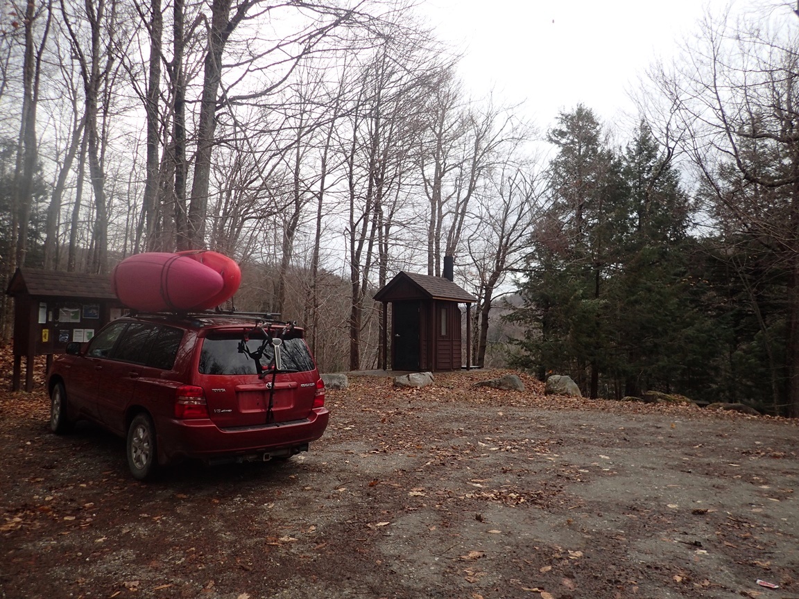
| Put-in: | Picnic Area at the Landslide |
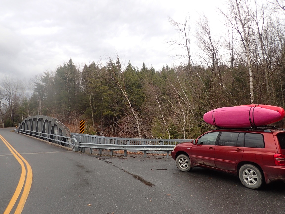
| Take-out: | Mt. Tabor Road |
| Shuttle: | 1.7 miles (5 minutes one way) |
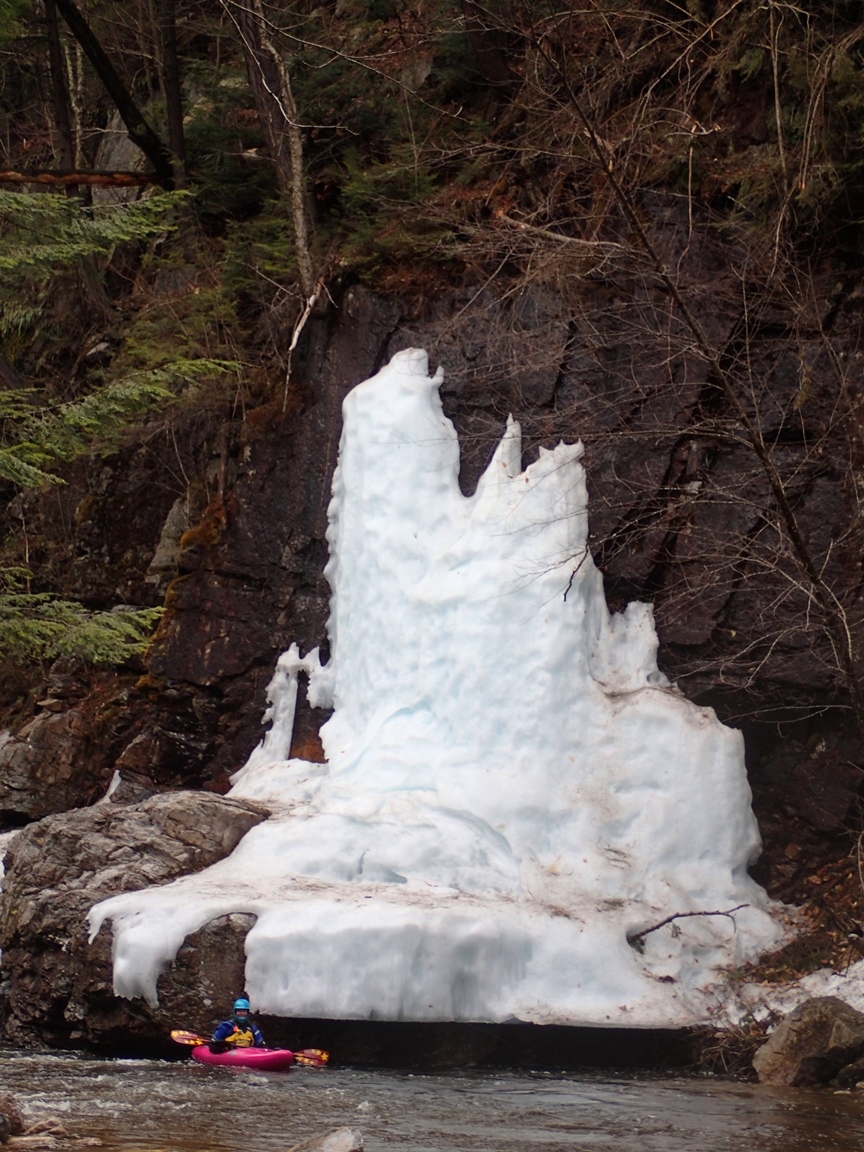
| Season: | Spring from rain and snow melt. Occasionally off of thunderstorms. |
| Written: | © 2015 |
| Featured in A Wet State #99 | |